Cass River Greenway works to...
Develop Recreation Opportunities on the Cass River and along its corridor.
Learn More
Learn More
Learn More
Cass River Greenway is an effort by a group of local volunteers, assisted by professional resources and municipal leaders, working to enhance recreational opportunities and the environmental well-being of the Cass River Corridor with a focus on three goals:
Numerous files are available including Annual Reports, Studies, Presentations and more.
Learn the history of the organization and their vision for the river's future.
CRG works regularly with a wide variety of partners throughout the Watershed and beyond.
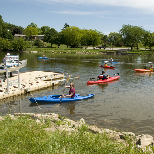
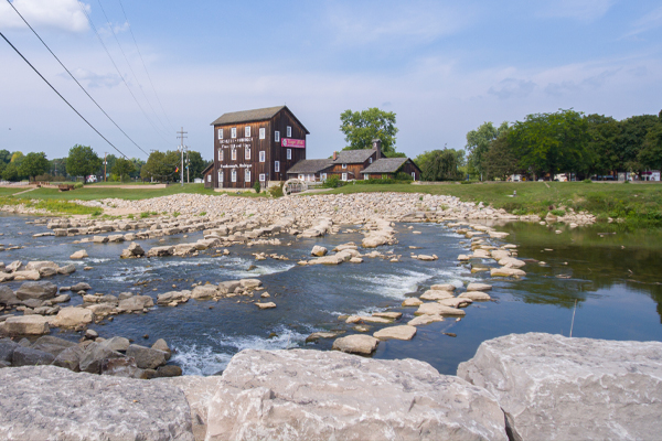
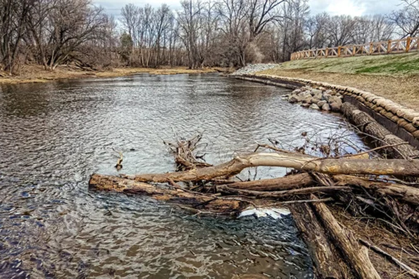
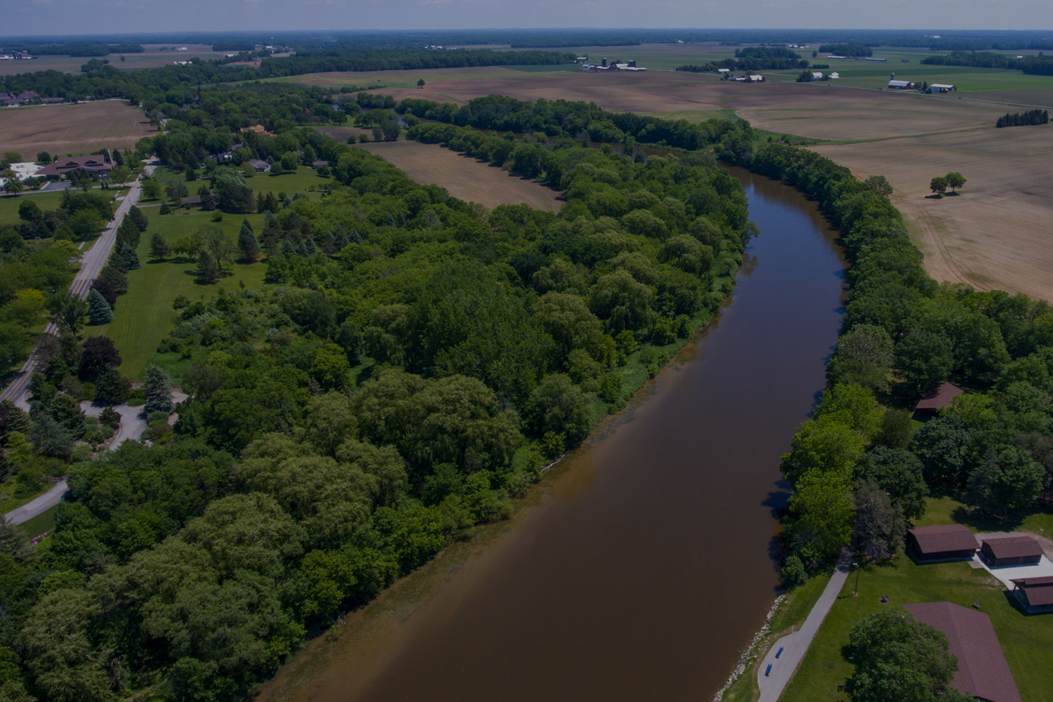
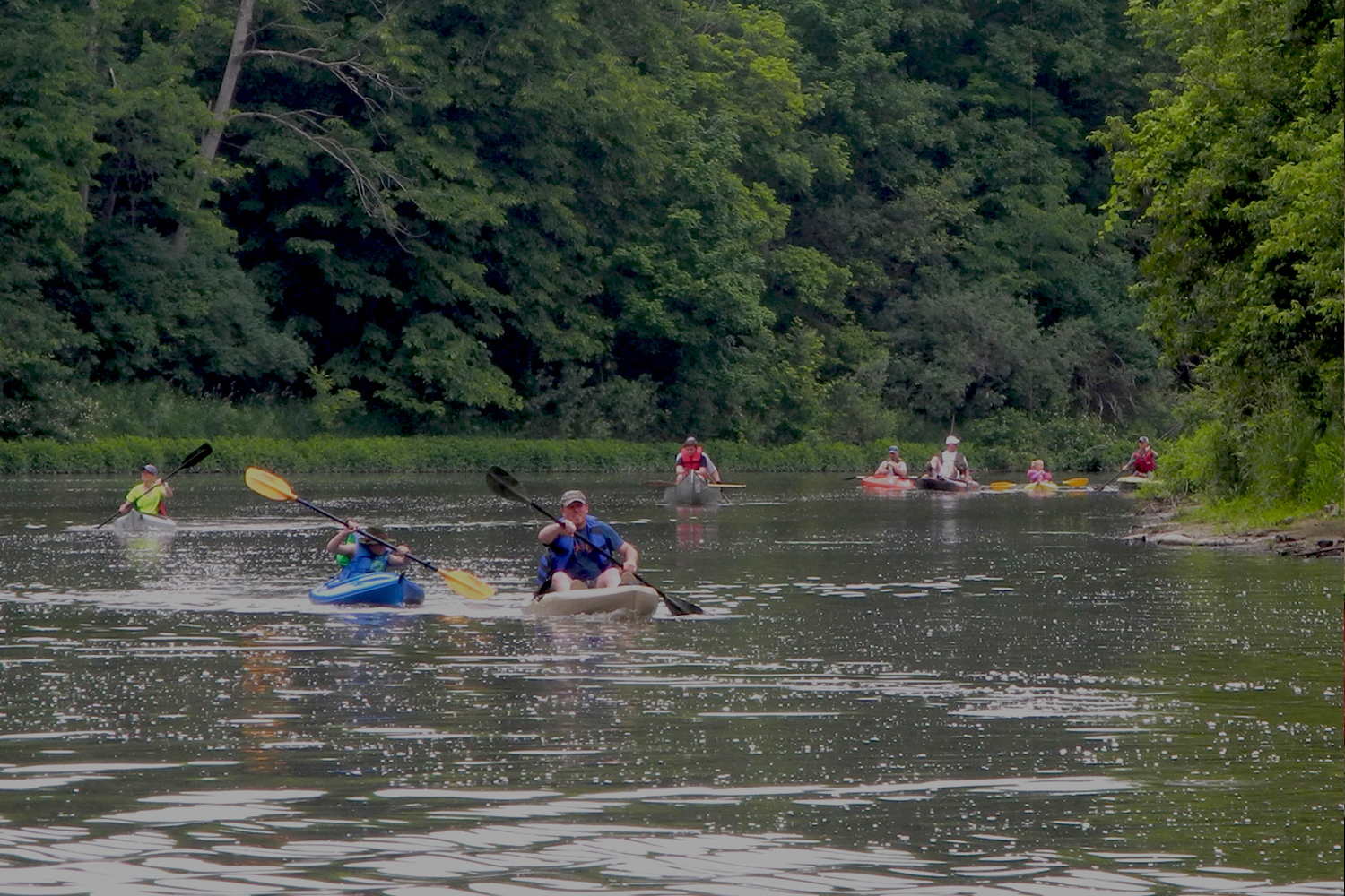
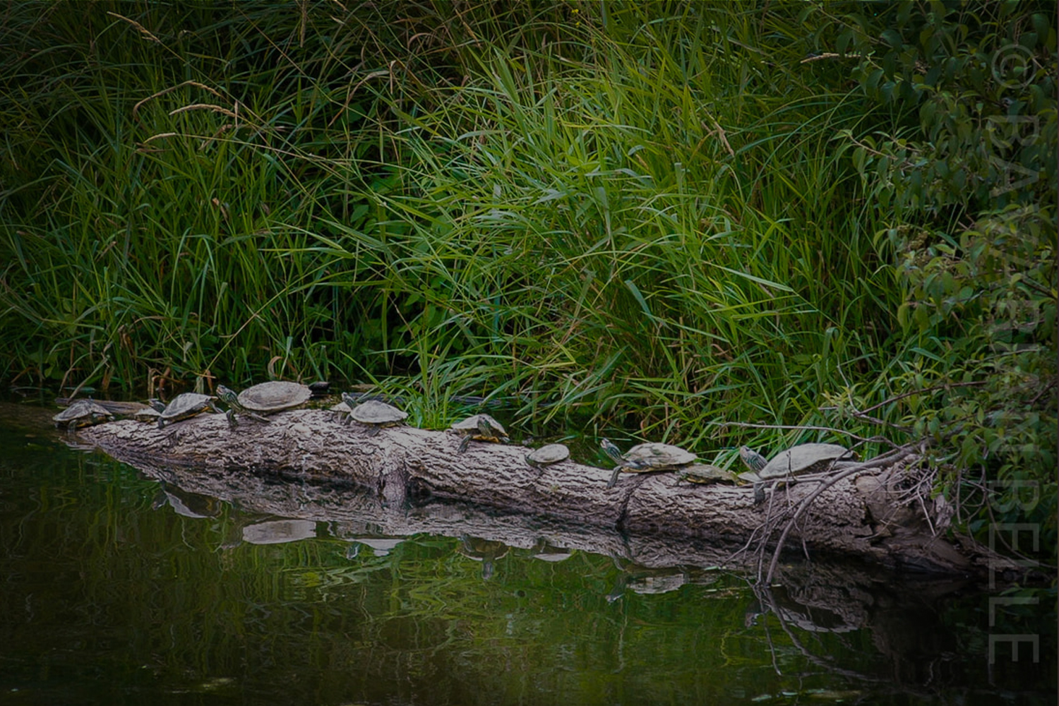
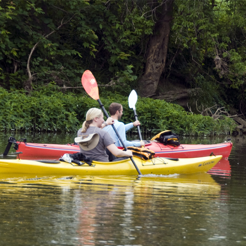
The Cass River is one of the premier rivers for wildlife and paddlesports in the Lower Peninsula! With lovely communities and peaceful rural landscapes surrounding our beautiful river, a trip down the Cass is one you will not soon forget. The Cass River Water Trail and a series of improved recreational access points will provide you with excellent, easy access and navigation!
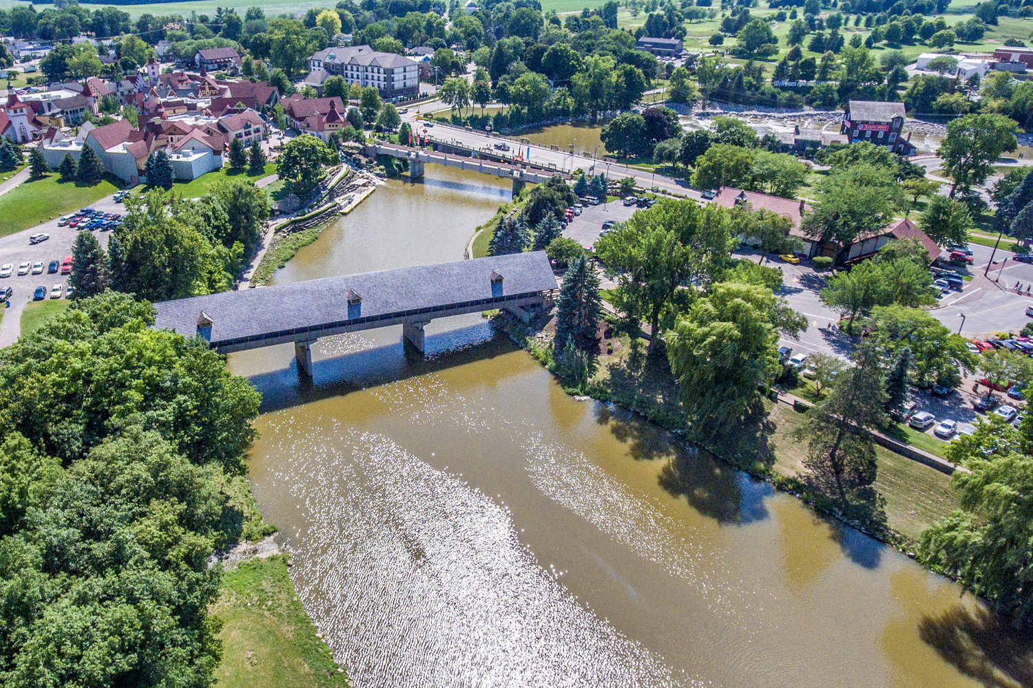
The Cass River Water Trail is a series of 13 kayak/canoe access sites located on public property along the Cass River. The trail begins upstream of Vassar where Highway M-46 crosses the Cass River. The water trail follows the river downstream through Vassar, Tuscola, Frankenmuth, Bridgeport and ends at Wickes Park on the Saginaw River. Download the Cass River Water Trail map for more information and join us on the Cass!
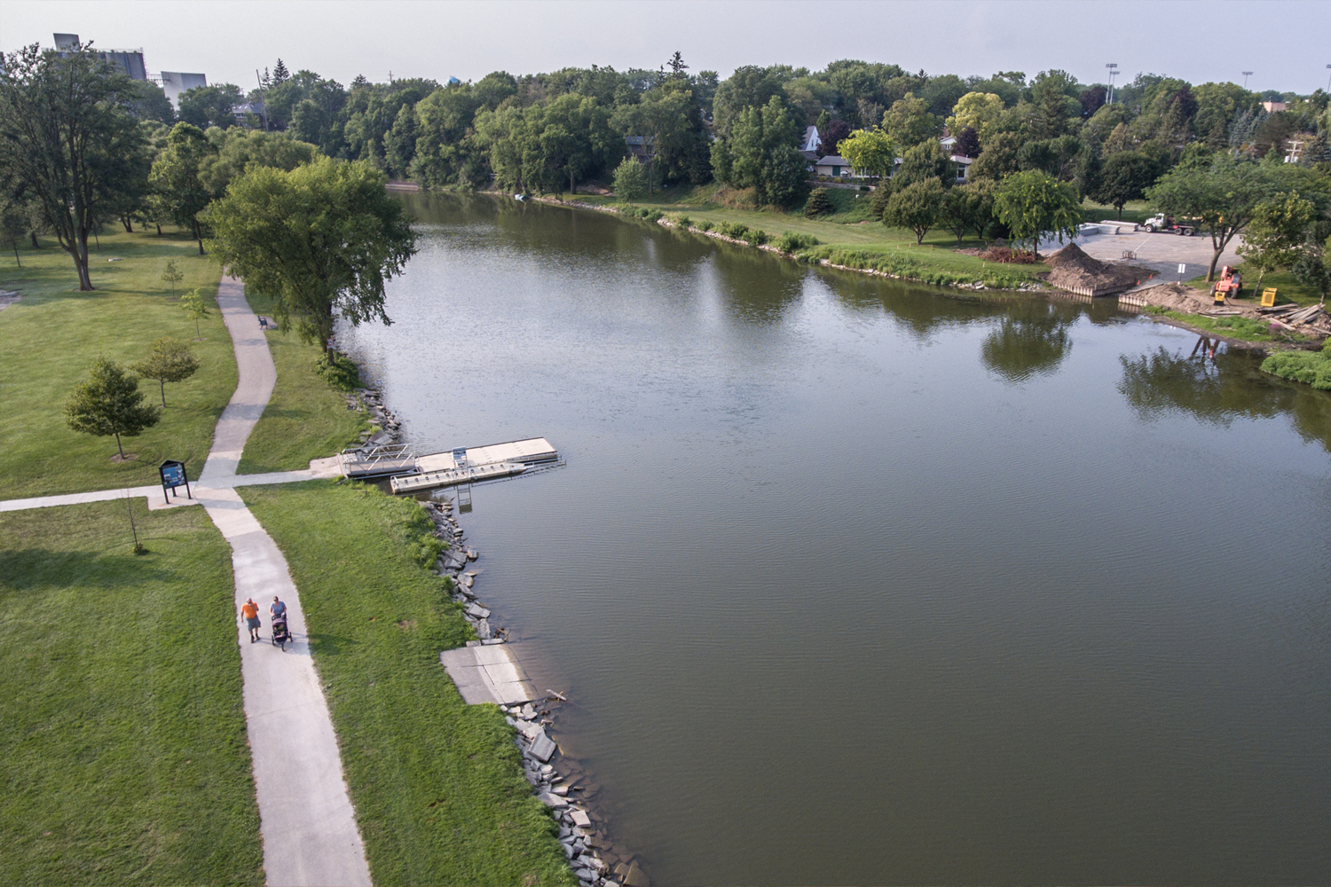
Not all sites have the same ease and convenience of use for varying degrees of physical abilities. Four sites, Heritage Park, Hoffmann Park, Davis Park and Wickes Park feature universally accessible floating dock launches. The remaining sites vary from accessible developed to carry-in access. See the Cass River WaterTrail website for details.