Cass River
Greenway
Since 2007
  • Home
  • Video
  • About Us
    • Contact CRG
    • Who is the Cass River Greenway Committee?
    • Organizational Information
    • Partners
    • Publications, Reports, Presentations
    • Meeting Minutes >
      • 2024 Meetings
      • 2023 Meetings
      • 2022 Meetings
      • 2021 Meetings
      • 2020 Meetings
      • 2019 Meetings
      • 2018 Meetings
      • 2017 Meetings
      • 2016 Meetings
      • 2015 Meetings
      • 2014 Meetings
  • Cass River Blog
  • Recreation
    • Cass River Water Trail
  • Habitat
  • Water Quality
    • Watershed Maps and Resources
    • Our Watershed
    • Watershed Presentation
    • Report a Problem on the Cass
    • Cass River Water Quality Project Summary
    • Watershed Management Plan
    • Clean Water Act
  • Events

The Water Trail

Picture


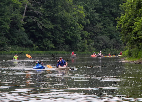
​The Cass River Water Trail is a series of 13 kayak/canoe access sites located on public property along the Cass River.  The trail begins upstream of Vassar where Highway M-46 crosses the Cass River.  The water trail follows the river downstream through Vassar, Tuscola, Frankenmuth, Bridgeport and ends at Wickes Park on the Saginaw River.  Download the Cass River Water Trail map for more information and join us on the Cass!

Downloads


Lower Greenway Water Trail Guide

Powered by Create your own unique website with customizable templates.